news
Tracing the Planning Decisions Behind Dubai Marina's Current Form
The area's present layout reflects choices made in earlier decades of Dubai's broader expansion along the waterfront.
How we reported this
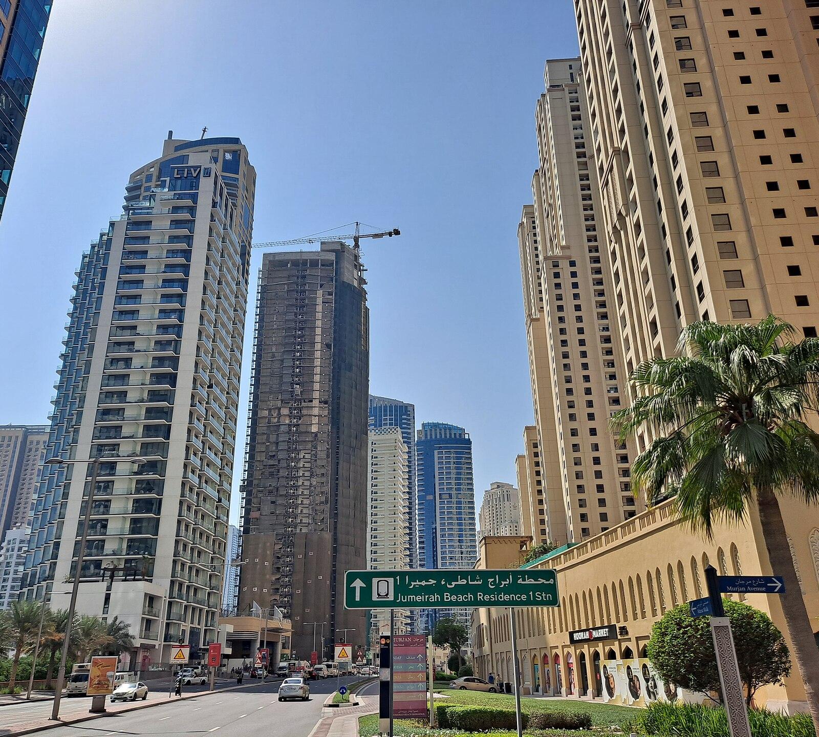
Dubai Marina took its basic shape through successive rounds of waterfront reclamation and zoning approvals that began decades ago. Those steps set the pattern of residential towers, marinas and retail strips now visible along the main waterway.
Decades of waterfront zoning
City authorities first designated the stretch for mixed-use development in the late twentieth century. Later master plans added height limits, marina basins and pedestrian promenades that still guide what can be built today. The sequence of approvals produced the dense cluster of towers that line both sides of the canal.
Successive updates to the original zoning rules allowed additional residential units while preserving the central waterway. Each round responded to rising demand for waterfront living without altering the core footprint established earlier. The result is the continuous line of buildings and walkways that residents and visitors use daily.
Why the background matters for residents now
Current property owners and businesses operate within the constraints set by those earlier decisions. Any new proposal must fit inside the same height, setback and marina-access rules that were locked in during the initial phases. This continuity explains why some streets feel more built-up than others and why certain plots remain open or underutilised.
Qualitative records from municipal archives show that infrastructure such as roads, utilities and public spaces was installed in stages tied to the same zoning documents. Later additions, including landscaping and lighting, followed the same original street grid. The pattern remains visible on walks along Marina Walk and the adjacent side streets.
People seeking details on a specific block can review the publicly available master-plan documents held by Dubai Municipality. Those files outline the sequence of approvals that produced the neighbourhood as it stands. Checking them directly gives the clearest picture of what changes remain possible under existing rules.